
Monitoring Islamic Archaeological Landscapes in Ethiopia Using Open Source Satellite Imagery
- Title
- Monitoring Islamic Archaeological Landscapes in Ethiopia Using Open Source Satellite Imagery See all items with this value
- Description
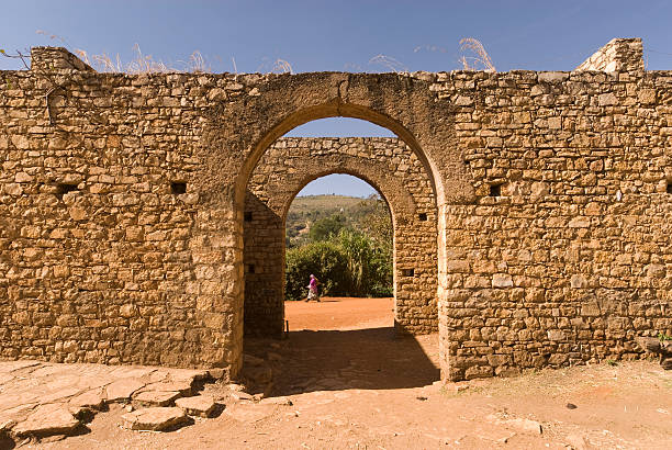
- The African landscape is set to change dramatically in the coming years, and will have a detrimental impact on the inherent archaeological and cultural heritage elements if not monitored adequately. This paper explores how satellite imagery, in particular open source imagery (Google Earth, multispectral satellite imagery from Landsat and Sentinel-2), can be utilized to monitor and protect sites that are already known with particular reference to Islamic archaeological sites in Ethiopia. The four sites used are in different geographic and geomorphological areas: three on the Somali Plateau (Harlaa, Harar, and Sheikh Hussein), and one on the edge of the Afar Depression (Nora), and have varied histories. The results indicate that open source satellite imagery offers a mechanism for evaluating site status and conservation over time at a large scale, and can be used on data from other areas of Africa by heritage professionals in the African continent at no cost…
- Identifier
- 464
- 769
- Uploaded Date (Original EH)
- 2020-06-26
- Uploaded By (Original EH)
- adminss
- Source
- Journal of Field Archaeology
- Contributor
- Mohammed Abdulkadir
- Date
- 2019 See all items with this value
- Author
- Nadia Khalaf & Timothy Insoll See all items with this value
- Type
- Journals
- Author Ethnicity
- Non-Harari
Comments
No comment yet! Be the first to add one!